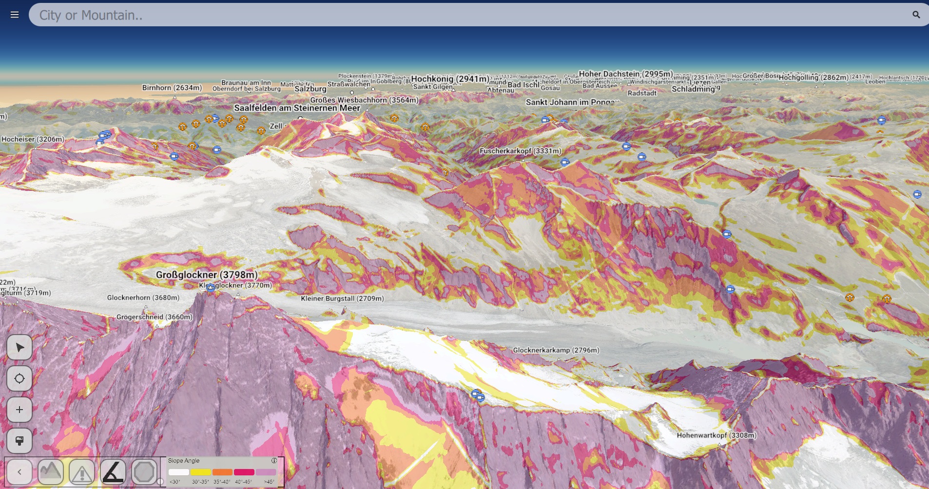
The Alpine Maps project at TU Wien (www.alpinemaps.org) is a 3d realtime visualisation of the alps, allowing the user to freely explore the alps. I am currently working on an overlay that visualizes avalanche danger levels according to current avalanche reports and terrain steepness.
The project is built upon QT with OpenGL.